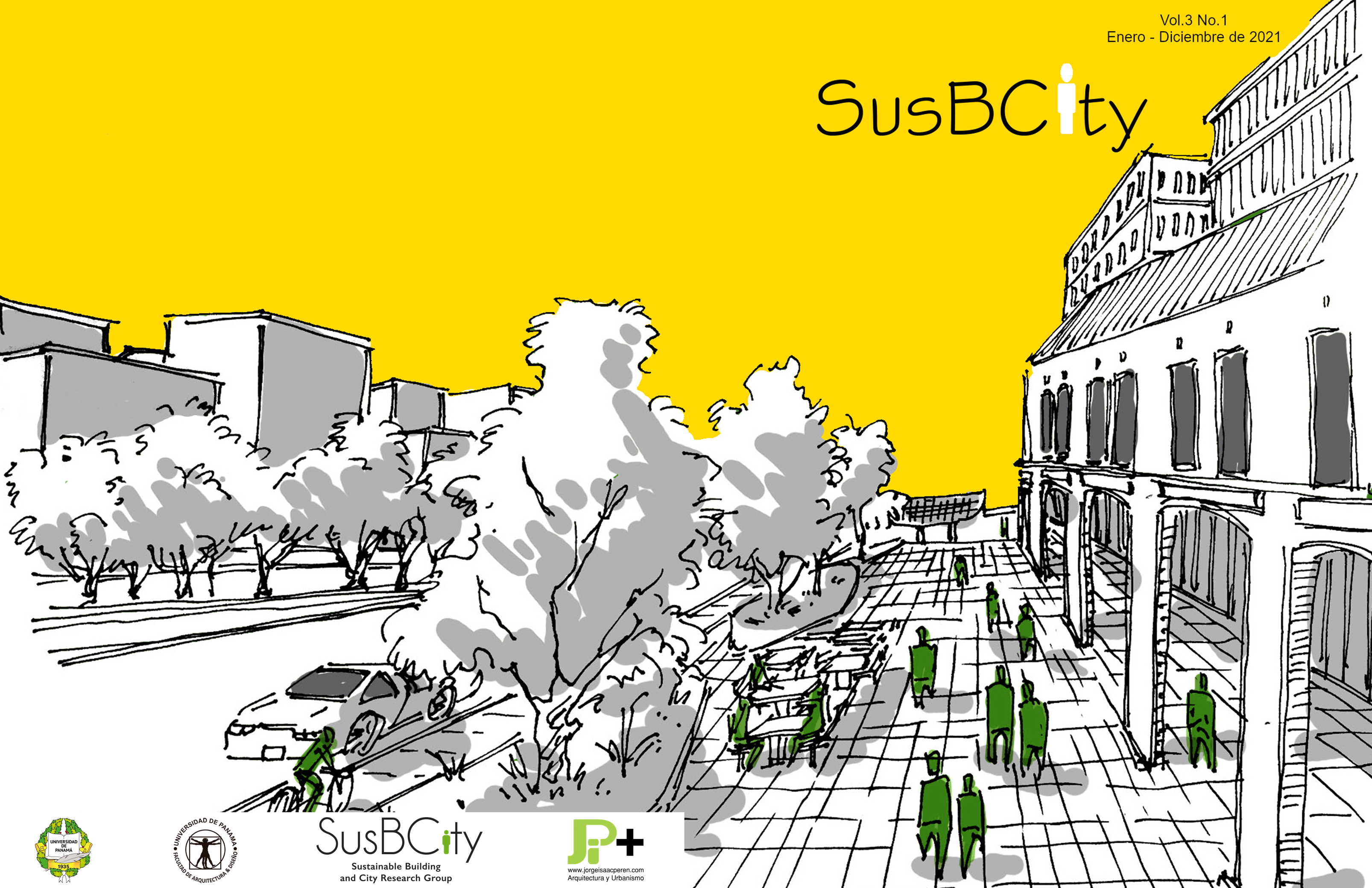

The urban morphology of our cities, influences the microclimate that generates in each one of them. The way the city is arranged, its orientation, height of buildings, width of streets, availability of green space and the amount of paved area are key aspects when analyzing microclimate.
In this study, we aim to describe the morphological characteristics of Obarrio, where an area of 34 blocks, with mixed land use and buildings of different height, was chosen. Making maps to represent existing conditions, using tools such as Google Earth, it was found that current conditions do not favor pedestrians, despite being a sector with a mostly regular layout and presenting a greater green area than other sites. Also, there is a 79% of 3 to 15 meters high buildings.